Danube: Settlement Fluctuation in River Regulation
Exhibition, rauminhalt_harald bichler Gallery, Vienna, 2023
intro
Danube: Settlement Fluctuation in River Regulation
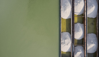
Artists Herwig Turk and Gebhard Sengmüller collaborated with scientists and researchers to explore a stretch of the Danube southeast of Vienna, a landscape in a pronounced tension zone.
A cross between an industrial zone, a recreation area, and the ecologically sensitive Donau-Auen National Park, this region has, in recent centuries, been strongly altered by building, river regulation, stabilization, and war; one would be hard-pressed to find more greatly contrasting elements in a landscape of such compact dimensions.
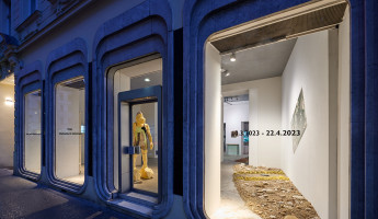
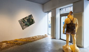
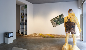
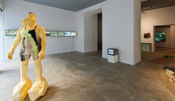
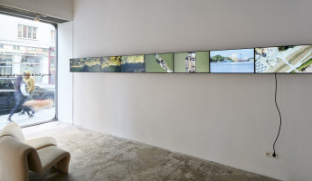
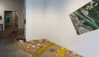
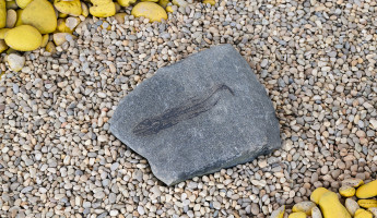
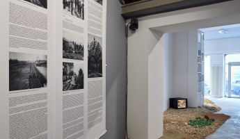
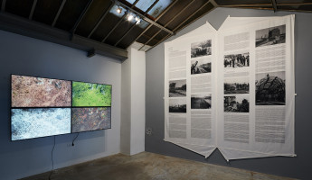
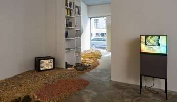
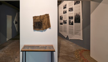
From March 9 to April 22, 2023, the artists presented the results of the first year of their project, arranged as a multifaceted space of experiences in the rauminhalt_harald bichler gallery in Vienna.
text
EXHIBITION STATEMENT:
As early as 1802, on his second expedition to South America, Alexander von Humboldt noticed the strong impact that human activity had on natural hydrological cycles. This applies all the more to urban agglomerations near rivers, like Vienna. At the same time, the changes caused by diverse interventions can also give rise to a new landscape, which is often difficult to tell apart from natural landscapes.
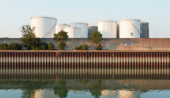
For the purpose of Turk and Sengmüller’s project, the most interesting section of this area is the stretch of the Danube between the harbor near Albern and the Lobau oil terminal, the lowest point in Vienna. From there, the artists cover an area extending upstream to the Freudenau Hydroelectric Plant and downstream to the Donau-Auen National Park in the Lower Lobau.
Here, the dynamic interaction of industrial zone, recreation area, and the ecologically sensitive Donau-Auen National Park has given rise to a landscape in which one would be hard-pressed to find more greatly contrasting elements in such a small space.
From an ecological perspective, it is hard to define the boundaries of this area, since the groundwater closely connects the water system southeast of Vienna with that of Marchfeld and because vast sections of the city have been built on former Danube floodplains.
With the so-called Great Danube Regulation the relationship between settlement areas and the river were completely reconfigured by 1870. The later construction of the overflow canal and national park led to what could certainly be described as an externally regulated metabolism.
For their investigation the artists could not fall back on a “primordial” landscape because the river and Vienna’s settlement area have been marked by dynamic changes from the start. The river’s “invisible twin,” the groundwater, is also subject to strong fluctuations.
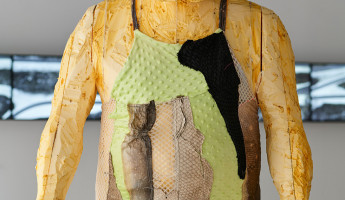
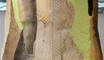
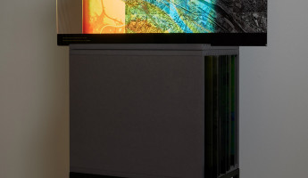
This is the point of departure of their research activity. Based on scientific studies and through artistic methods they produce an analytically complex and critical representation of the landscape. Their media strategies generate a multidimensional, dynamic image of the landscape and weave the interdisciplinary strands into a rich visual narrative. The comprehensive and specialized research findings from many different fields are transformed into a fragile “hyperobject” which visitors are invited to explore by immersing themselves in various perceptual spaces and fields of knowledge.
In this way, the project takes a look not only at the top layers of an ever-changing landscape as it is today, but travels along the temporal axis into the past and, with the help of artistic and scientific methods, into the future as well.
